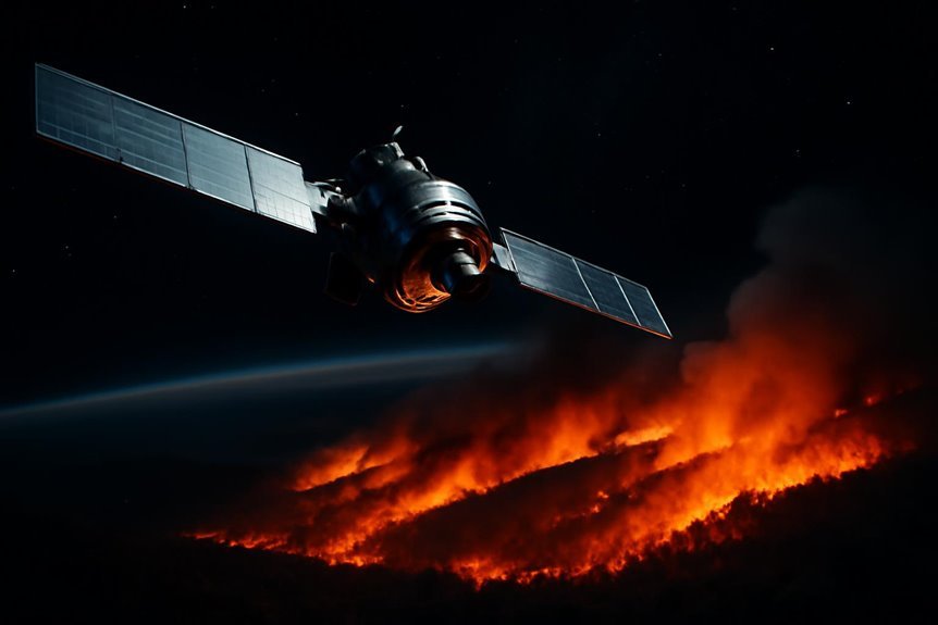

FireSat is a satellite constellation backed by Google and led by the nonprofit Earth Fire Alliance, designed specifically to detect and monitor wildfires across the globe in near real time. The system represents the first satellite constellation purpose-built for wildfire detection, capable of identifying fires as small as 5×5 meters and providing planet-wide coverage updates approximately every 15 to 20 minutes.
The Earth Fire Alliance, a nonprofit coalition focused on global wildfire data, leads the initiative’s governance. Google Research serves as a founding technical partner, contributing artificial intelligence, modeling, and system design expertise. Muon Space, a California-based spacecraft manufacturer, is responsible for building and operating the satellites. Philanthropic backing comes from the Gordon and Betty Moore Foundation, the Environmental Defense Fund, and the Bezos Earth Fund.
The full constellation is planned at approximately 50 to 52 satellites in low Earth orbit, with complete deployment targeted for around 2030. A protoflight satellite launched in March 2025 demonstrated initial capabilities, featuring roughly a 1,500-kilometer swath width and 50-meter ground sample distance. The first operational satellite launched in early 2025 aboard a SpaceX mission, beginning near-real-time wildfire tracking from orbit. Three additional operational satellites were scheduled for launch from Vandenberg Space Force Base in mid-2026.
Each satellite carries multispectral infrared payloads with six spectral bands, including short-wave infrared sensors optimized to detect heat signatures through smoke. The operational constellation is designed to capture imagery at 5×5 meter ground resolution pixels, allowing detection of fires at roughly classroom scale. Sensors are configured to provide accurate infrared data regardless of smoke interference, a critical capability during active fire events.
The mission aims to observe every wildfire on Earth, capturing ignition, growth, and evolution over time for both scientific research and operational fire management. The global dataset generated by FireSat is intended to transform how agencies understand, track, and respond to fires worldwide. Continuous, high-frequency coverage is central to the system’s value, allowing detection of early-stage fires before they grow into large, destructive events.
Situational awareness improvements enabled by FireSat are expected to support faster resource deployment and better coordination among fire response agencies. By tracking fire behavior in near real time, the system provides ground crews, aviation units, and emergency managers with updated intelligence during active incidents. The broader objective centers on reducing the scale and impact of megafires, which have grown increasingly destructive in recent decades due to climate and land-use factors.
FireSat’s combination of infrared sensing, AI-driven analysis, and high-revisit satellite coverage positions it as a significant operational tool for global fire management. Google.org provided funding of over $15 million to support the initiative, underlining the scale of philanthropic investment behind the project. As the constellation expands toward full deployment, its continuous monitoring capability is designed to give fire agencies the early warning and tracking data needed to respond more effectively to wildfires worldwide.