For decades, the biggest problem in rainforest ecology wasn’t a lack of interest or funding. It was the simple, maddening fact that most species in dense tropical forests are nearly impossible to count. Visual surveys miss nocturnal animals. Point counts underestimate cryptic species. Manual analysis of field recordings takes years. The result has been a persistent blind spot: conservation decisions made on incomplete data, protecting areas based on what researchers happened to see rather than what actually lived there.
Conservation has been flying blind—protecting what we happened to see, not what was actually there.
That blind spot is closing fast. A convergence of passive acoustic monitoring, computer vision, environmental DNA analysis, and satellite remote sensing, all powered by increasingly capable machine learning systems, is surfacing wildlife populations that traditional fieldwork never detected. This isn’t a marginal improvement. Studies in African rainforests show AI enabled camera traps boosting species detection effectiveness by 39 percent over conventional methods, with fully digital configurations pushing that number to 65 percent. Deep convolutional neural networks now classify wildlife images with accuracy above 95 percent across diverse taxa. The implications stretch well beyond academic ecology into conservation policy, land use planning, and the economics of biodiversity protection, similarly to how Google Gemini AI enhances analysis in historical research.
Listening to Forests at Scale
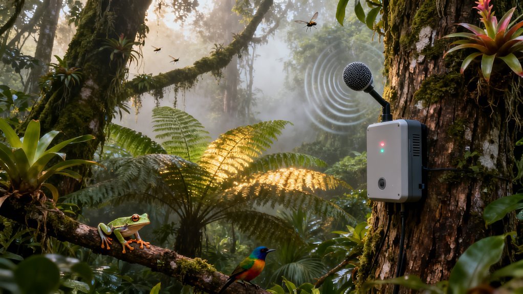
The acoustic monitoring piece deserves particular attention because it represents a genuinely new paradigm, not just automation of an existing workflow. Researchers have recorded forest soundscapes for years, but the bottleneck was always analysis. A single monitoring station running continuously generates thousands of hours of audio per year. No team of human analysts can process that volume with any consistency.
Deep learning changed the equation. Modern algorithms trained on labeled vocalizations can now identify species solely from their calls, running continuously across vast datasets without fatigue or annotation drift. The systems catch rare and nocturnal species that conventional survey methods routinely miss. More importantly, long-term acoustic pipelines reveal population dynamics in near real time, detecting shifts in calling activity that signal environmental stress before visual indicators appear. Think of it as an early warning system built from sound.
This matters strategically because it decouples monitoring from physical presence. A network of acoustic sensors paired with cloud-based inference can survey areas where sending human teams is impractical, dangerous, or prohibitively expensive. For governments managing enormous protected areas with limited budgets, this represents a fundamental shift in what is operationally possible.
Camera Traps Get Smart
Camera trap technology has been a workhorse of wildlife research for years, but the traditional workflow was brutal. Millions of photographs, most of them empty frames triggered by wind or vegetation, requiring human review image by image. AI classification doesn’t just speed this up. It makes previously unmanageable datasets usable for the first time.
The 95 percent classification accuracy figure is notable in context. Early attempts at automated wildlife identification struggled badly with the variability of real-world field images: poor lighting, partial occlusion, motion blur, mud on lenses. The performance gains reflect broader advances in computer vision architectures, particularly the transfer learning techniques that allow models trained on massive general image datasets to be fine-tuned for specialized ecological tasks with relatively modest labeled samples. Computer vision models such as YOLO and Mask R-CNN have been instrumental in enhancing automated species identification across these ecological applications.
Large scale camera trap networks analyzed with AI are revealing spatial patterns of occupancy that point to hidden subpopulations persisting in fragmented habitats. This is conservation gold. Identifying where animals actually are, rather than where researchers assume they should be, directly informs decisions about corridor placement, habitat restoration priorities, and protected area boundaries.
There is a dual use dimension here as well. The same real-time image classification systems support anti-poaching operations by flagging human intrusions in protected zones. Linking biodiversity discovery with enforcement creates a feedback loop where the technology that finds new populations also helps protect them.
The eDNA Layer
Environmental DNA analysis adds something neither acoustics nor cameras can provide: evidence of species presence without any direct observation at all. Organisms shed DNA into their environment constantly through skin cells, waste, mucus, and decomposition. Machine learning classifiers applied to high throughput eDNA sequencing can now distinguish closely related or cryptic species whose physical forms are nearly identical, confirming the presence of animals at sites where no individual has ever been directly seen.
Automated time series analysis of eDNA samples goes further, identifying colonization events and local extinctions with a temporal resolution that traditional fieldwork cannot match. For conservation managers, this means the ability to track population turnover across dozens or hundreds of sites simultaneously, flagging locations of undocumented species richness before those populations disappear.
The integration of eDNA monitoring into protected area assessments is still early stage, but the trajectory is clear. As sequencing costs continue to fall and reference databases grow, eDNA will likely become a standard component of biodiversity inventories within the next five years.
Fusion Is Where It Gets Interesting
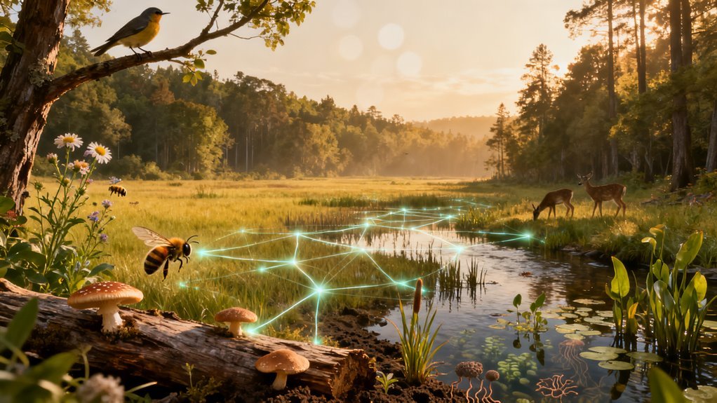
Each of these technologies is powerful individually. The real transformation comes from combining them. Multimodal habitat intelligence frameworks that fuse acoustic recordings, camera trap imagery, eDNA signals, and satellite remote sensing into unified biodiversity estimates represent something genuinely new in conservation science.
Species distribution models trained on machine learning can now predict wildlife occurrence in areas where no survey team has ever set foot, compressing vast volumes of rainforest imagery and sensor data into actionable maps. Geospatial foundation models, a concept borrowed from the large language model playbook, detect habitat features associated with hidden populations at continental scale.
The parallel to developments in other AI domains is worth noting. Just as foundation models in language and vision have enabled rapid adaptation to specialized tasks, geospatial foundation models are enabling ecologists to leverage massive pretraining on satellite imagery for highly specific conservation applications. The Essential Biodiversity Variable frameworks emerging around these tools aim to standardize AI derived detections into systematic monitoring indicators, creating something approaching a real-time dashboard for planetary biodiversity.
Who Benefits, Who Should Pay Attention
The most immediate beneficiaries are conservation organizations and the governments of megadiverse countries, many of which lack the resources for comprehensive field surveys. AI-driven monitoring dramatically reduces the cost per species detected and per hectare surveyed, making rigorous biodiversity assessment feasible in places where it previously was not.
For the AI industry itself, conservation technology represents a small but symbolically important application domain. It demonstrates tangible, measurable real-world impact in a field where public support runs high and ethical concerns are relatively low compared to, say, surveillance or autonomous weapons. Companies building geospatial AI, edge computing hardware for remote deployment, and biodiversity analytics platforms are positioned to capture growing demand as these methods scale.
Investors should note the regulatory tailwind. The Kunming Montreal Global Biodiversity Framework, adopted in 2022, commits signatory nations to protecting 30 percent of land and ocean by 2030. Meeting that target requires knowing what lives where, and traditional methods cannot generate that knowledge fast enough. AI-powered biodiversity monitoring is not optional for countries serious about compliance.
What People Are Overlooking
The data governance questions are significant and largely unresolved. Who owns the biodiversity data generated by AI monitoring systems? If a privately funded sensor network discovers a new population of an endangered species on indigenous land, what obligations follow? The technology is advancing faster than the legal and ethical frameworks around it.
There is also a risk of false confidence. A 95 percent classification accuracy sounds impressive until you consider that a five percent error rate across millions of images still produces tens of thousands of misidentifications. In conservation, false positives can misallocate resources and false negatives can doom populations. The models require continuous validation, and the ecological expertise to provide that validation remains scarce.
Finally, these systems depend on connectivity and compute infrastructure that much of the tropical world lacks. Edge AI running on low power devices in remote locations is improving rapidly, but deployment at the scale conservation demands will require sustained investment in hardware, maintenance, and local technical capacity. The technology works. The question is whether the institutional and financial infrastructure will keep pace.
Looking Ahead
The direction is unmistakable. Within a few years, real-time, multimodal biodiversity monitoring will be standard practice in well-funded protected areas. The combination of falling sensor costs, improving foundation models, and growing regulatory pressure makes this trajectory close to inevitable.
The deeper question is whether the discoveries these systems make will actually change outcomes. Finding hidden wildlife populations is only valuable if it leads to effective protection. AI can tell us who lives in the rainforest and where. What happens next is still a human decision.