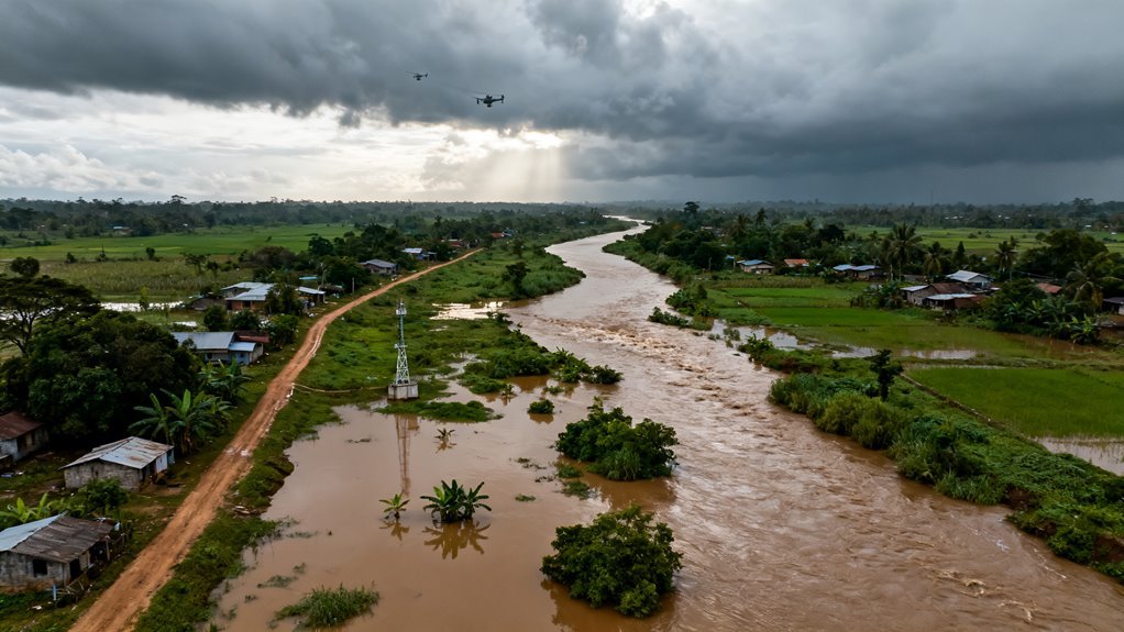
Flood forecasting has long been a story of infrastructure inequality. Wealthy nations blanket their watersheds with stream gauges, radar networks and hydrological models refined over decades. Much of Africa, South Asia and Latin America get almost nothing. When rivers surge in these regions, the first warning often arrives with the water itself.
That gap is closing faster than most people in the technology industry realize, and the mechanism behind it tells us something important about where applied AI is heading more broadly.
What Actually Changed
A global machine learning system now delivers river and flash flood forecasts up to seven days in advance across at least 80 countries, including watersheds where no physical stream gauge has ever been installed. The system, integrated into an operational platform called Flood Hub, provides real-time river forecasts and inundation maps at no cost to governments, disaster response organizations and researchers. Coverage extends to hundreds of millions of people in regions where conventional monitoring infrastructure simply does not exist and is unlikely to exist anytime soon.
AI flood forecasts now reach 80+ countries with zero river sensors, protecting hundreds of millions who had no warning system at all.
This is not a research paper or a proof of concept. It is an operational system running continuously, producing forecasts that emergency planners are already using to make evacuation decisions.
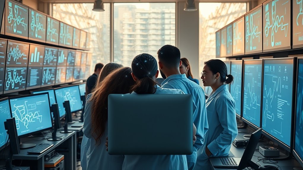
The technical backbone relies on long short term memory neural networks processing sequences of meteorological and hydrological inputs to predict daily streamflow across zero to seven day horizons. The models ingest satellite precipitation estimates, soil and terrain attributes, numerical weather forecasts and gauge measurements where available. More recent architectural advances fold in differentiable hydrologic and routing models that embed actual river network structure and flow generation physics into the AI simulations. This hybrid approach matters because it combines the pattern recognition strengths of deep learning with the physical constraints that keep predictions from drifting into nonsense during extreme events.
AI-driven drug development
The Ungauged Basin Problem Is the Real Story
Predicting floods where you have sensors is hard. Predicting floods where you have no sensors at all is a fundamentally different challenge, and solving it required a conceptual shift in how hydrologists think about machine learning.
Traditional hydrology calibrates models to individual basins using local observations. No observations, no model. For decades, the standard workaround was regional parameter transfer, essentially guessing that an ungauged basin behaves like a nearby gauged one with similar characteristics. The results were mediocre at best.
What the LSTM approach demonstrated is that a single model trained on a large, diverse collection of gauged basins learns generalizable relationships between landscape attributes, climate forcing and streamflow response. When applied to basins it has never seen, this model outperforms not just regional transfer methods but also established operational systems like SAC SMA and the US National Water Model in out of sample tests. The five day lead time forecasts in ungauged basins now match or exceed the accuracy of state of the art nowcasts at zero day lead time in those same basins. Read that again: the AI looking a week ahead is as reliable as the best conventional system looking at what is happening right now.
Transfer learning frameworks pairing global satellite precipitation with models trained in data rich regions yield flood peak predictions typically within 30 percent of observed peaks in ungauged catchments. Surrogate gauging approaches that use downstream flow observations and basin attributes to estimate upstream conditions improve performance in roughly 89 percent of synthetic basins compared with parameter transfer methods. The ML models trained using the NASA IMERG precipitation dataset were applied across approximately 600 catchments spanning various hydroclimatic zones in the Contiguous US before being evaluated internationally.
These are not marginal improvements. They represent a structural change in what is possible.
Why This Matters Beyond Flood Prediction
The broader significance here is about what happens when AI models trained on abundant data in one domain generalize to data scarce environments in related domains. This is the same transfer learning dynamic that made large language models useful for low resource languages and that allows computer vision systems trained on ImageNet to identify crop diseases in regions where no labeled agricultural datasets exist.
Flood prediction is simply one of the highest stakes demonstrations of this principle. The pattern is repeating across climate science, public health surveillance, agricultural monitoring and infrastructure management. Wherever critical decisions depend on local sensor data that developing nations cannot afford to deploy and maintain, globally trained AI models offer a path around the infrastructure bottleneck.
Google, which operates Flood Hub, has been relatively quiet about this compared to its louder investments in large language models and generative AI. That itself is telling. The company’s DeepMind division and research teams have produced some of the most consequential applied AI work of the past five years in areas like protein folding, weather prediction and now flood forecasting, yet these efforts receive a fraction of the attention given to chatbots and image generators.
This reflects a broader distortion in how the industry allocates attention. Consumer facing AI products dominate the conversation while infrastructure level AI applications with measurably larger humanitarian impact operate in relative obscurity. The weather and climate modeling space alone has seen remarkable progress, with GraphCast, Pangu Weather and GenCast all demonstrating that AI can match or outperform traditional numerical weather prediction models at a fraction of the computational cost. Flood forecasting is a natural downstream application of these advances.
Who Benefits and Who Should Be Paying Attention
The most immediate beneficiaries are disaster management agencies in countries across sub Saharan Africa, South and Southeast Asia and parts of Latin America where flood mortality rates remain stubbornly high precisely because early warning systems are inadequate. Seven days of lead time transforms the calculus of emergency response. It is the difference between reactive body recovery and proactive evacuation.
Insurance and reinsurance companies should also be watching closely. Parametric insurance products, which pay out based on measurable triggers rather than assessed damages, become far more viable when reliable flood predictions exist for previously unmodeled regions. Swiss Re, Munich Re and newer climate risk startups have been circling this opportunity. Reliable ungauged basin forecasts remove one of the biggest obstacles to extending flood insurance into developing markets.
Infrastructure developers and multilateral development banks stand to gain as well. The World Bank and regional development institutions fund billions of dollars in infrastructure projects annually in flood prone regions. Better flood forecasting reduces the risk premium on these investments and improves the business case for projects that might otherwise be deemed too risky.
Agricultural commodity traders and food security organizations benefit from improved flood prediction in major farming regions. The Indus, Brahmaputra, Niger and Mekong basins support hundreds of millions of agricultural livelihoods. Knowing a week in advance that a major flood is coming changes planting decisions, grain storage logistics and commodity pricing.
What People Are Overlooking
Several dynamics deserve more scrutiny than they are getting.
Dependency and sovereignty concerns. When a handful of technology companies control the forecasting infrastructure that entire nations rely on for disaster response, the power asymmetry is significant. Flood Hub is free today. There is no guarantee it remains free, funded or operational indefinitely. Countries building their disaster response systems around these platforms need to think carefully about what happens if the service degrades, gets restructured or disappears during a corporate priority shift. Google kills products regularly. Most of them do not have life or death implications.
Data feedback loops. The models perform well in ungauged basins now, but they would perform better with local validation data. There is an opportunity and arguably an obligation to use AI forecasts as a catalyst for targeted sensor deployment. Instead of blanketing every watershed with gauges, nations could strategically instrument the basins where AI uncertainty is highest, creating a feedback loop that improves both the models and the local monitoring capacity. Few organizations are pursuing this approach systematically.
Extreme event performance. The published benchmarks are impressive on average, but floods that kill people are not average events. They are tail events, and neural network performance on tail events remains an active area of concern across all of applied machine learning. The hybrid physics informed architectures help constrain predictions during extremes, but the honest assessment is that the models have not yet been tested against enough truly catastrophic events to know how they perform when it matters most.
Regulatory vacuum. No international framework governs the accuracy standards, liability provisions or operational requirements for AI driven disaster forecasting. When a traditional national weather service issues a flood warning that proves wrong, there are established accountability mechanisms. When a Google AI system issues or fails to issue a warning, the accountability picture is murky. As these systems become embedded in official disaster response workflows, this gap needs to be addressed.
Where This Is Heading
The trajectory points toward integrated, multimodal AI systems that combine flood prediction with downstream impact modeling. Knowing the river will crest at a certain level is useful. Knowing which specific neighborhoods, roads and hospitals will be affected at that level is transformative.
The next generation of these systems will likely merge hydrological forecasts with high resolution terrain data, building footprint databases and population density maps to produce actionable impact scenarios rather than raw discharge predictions.
Real time adaptive forecasting is another probable development. Current models produce forecasts based on initial conditions and weather predictions, then update on a fixed schedule. Future systems will likely assimilate incoming satellite imagery, social media signals and IoT sensor data continuously, adjusting predictions in something closer to real time.
The commercial opportunity is substantial. Climate risk analytics is already a multibillion dollar market, and accurate flood prediction in previously unforecastable regions expands the addressable market significantly. Companies like Jupiter Intelligence, One Concern and Climate AI are building commercial products around climate risk modeling. The availability of free, high quality baseline forecasts from Google could either undercut these companies or raise the bar they need to clear to justify their pricing.
For the AI industry more broadly, flood forecasting illustrates something that gets lost in the noise around generative AI. Some of the most consequential applications of machine learning are not the ones that produce text, images or code. They are the ones that make predictions about physical systems in places where those predictions were previously impossible. The models are less flashy. The impact is not less real.
The gap between what AI can now do in applied earth science and what most technology professionals know about is wide. It is worth closing.