
The Earth Is Becoming Transparent, and AI Is Holding the Lens
For most of human history, finding a lost city required equal parts luck, obsession, and a machete. Archaeologists spent careers chasing fragments of oral tradition through jungle and desert, sometimes stumbling onto something monumental, more often not. That model is collapsing. Over the past two years, a quiet convergence of computer vision, remote sensing hardware, and sheer computational brute force has turned subsurface archaeology into something closer to a search engine problem. AI systems are now routinely identifying buried urban infrastructure across thousands of square kilometers in weeks, work that previously consumed generations. The implications stretch well beyond archaeology into how we think about what AI can actually do when pointed at real, physical problems instead of chatbot benchmarks.
What Actually Changed
The core technical shift is not any single breakthrough but rather the maturation of several capabilities at once. High resolution satellite imagery, LiDAR scanning, synthetic aperture radar, and multispectral sensors have all been available for years individually. What is new is the ability to feed all of these data streams simultaneously into deep learning pipelines that can distinguish a buried stone foundation from a geological formation with better than 90 percent accuracy in many environments.
AI didn’t invent the sensors. It learned to listen to all of them at once.
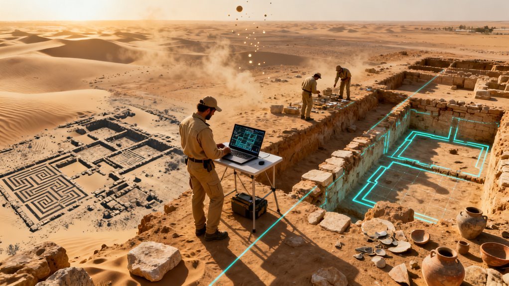
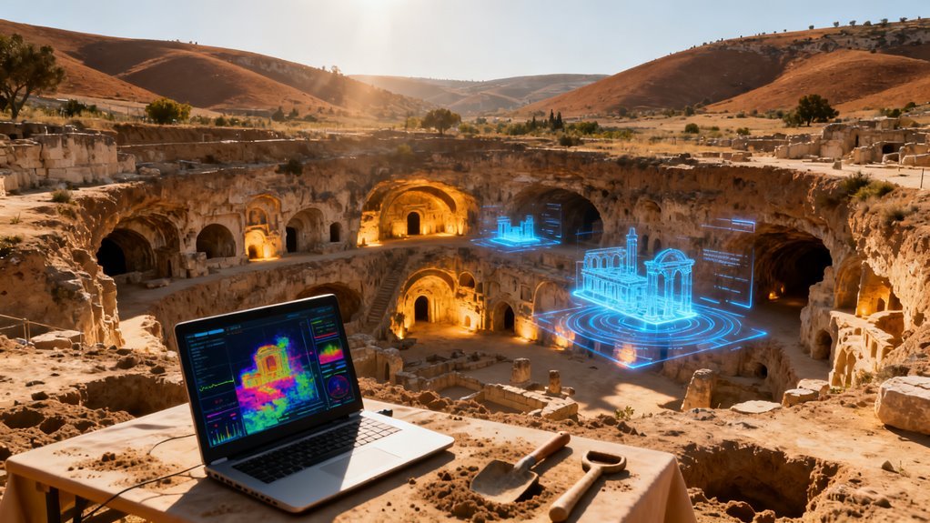
The pipeline itself is straightforward in concept, though enormously complex in execution. Computer vision models segment raw imagery into candidate features, filtering out modern infrastructure and natural geology. Object detection networks then classify subtle surface indicators like vegetation stress patterns, soil discoloration, and micro topographic variations as proxies for what lies beneath. Synthetic aperture radar adds a layer that optical sensors cannot provide, penetrating dry sand and soil to expose dielectric contrasts associated with walls, chambers, and tunnels. The combined output is a probability map that tells ground teams exactly where to dig.
This is not a prototype workflow. It is producing results at scale.
The Numbers That Matter
Consider what happened with the Nazca Lines in Peru. AI analysis of satellite imagery identified 303 previously unknown geoglyphs in roughly six months. That single effort doubled a catalog that took nearly a century of painstaking ground survey to compile. The ratio is worth pausing on: six months versus a hundred years, with a larger yield. That research, conducted by Yamagata University’s Nazca Institute and IBM, was published in the Proceedings of the National Academy of Sciences.
Across multiple projects between 2023 and 2025, AI assisted discovery rates have outpaced conventional manual surveying by an estimated ten to twenty times. In the Mesopotamian floodplains, geospatial AI tools reached approximately 80 percent accuracy in predicting buried settlement locations and cut the required excavation area in half. That last number matters enormously in practical terms. Excavation is expensive, destructive, and slow. Cutting the search area by 50 percent does not just save money. It preserves irreplaceable context that would otherwise be destroyed by unnecessary trenching.
But the Maya lowlands produced the most striking demonstration of what this technology can do at civilization scale.
A City Under the Trees
When researchers combined LiDAR scanning with AI classification across more than 2,100 square kilometers of Guatemalan jungle, they found over 60,000 previously unknown structures. Platforms, pyramids, causeways, fortifications, terracing systems, and water management infrastructure emerged from beneath a forest canopy that had served as a living roof for centuries.
Automated analysis achieved roughly 93 percent accuracy in detecting masonry vaulted buildings, enabling reliable reconstruction of urban density and building typology across the entire survey area. The findings were not merely additive. They were structurally revisionist. Instead of isolated temple complexes separated by empty jungle, the data revealed continuous networks of elevated roads connecting dense building clusters. The pattern indicated large, integrated urban systems with intensive land use rivaling major pre industrial cities. The Maya lowlands, it turns out, were not dotted with ceremonial centers. They were urbanized.
The forest canopy had concealed an urban landscape comparable in complexity to what you might expect to find underground. And AI peeled it back in months.
Why This Matters Beyond Archaeology
It is tempting to file this under “interesting science story” and move on. That would be a mistake. What is happening in archaeological remote sensing is a leading indicator of something much larger: AI systems becoming genuinely useful at interpreting complex, noisy, real world sensor data to find things humans cannot see.
The technical parallels to other domains are direct. The same class of computer vision models that distinguishes a buried Roman road from a dried riverbed can distinguish a hairline crack in a bridge abutment from surface weathering. The synthetic aperture radar techniques penetrating desert sand to find Mesopotamian settlements are closely related to methods used in mineral exploration, groundwater mapping, and defense intelligence. The probability mapping approach that guides targeted excavation is functionally identical to how predictive maintenance systems prioritize infrastructure inspection.
What archaeology provides is an unusually clean validation environment. The ground truth is literally in the ground. You can verify predictions by digging. That feedback loop is accelerating model improvement in ways that will transfer to adjacent fields.
The Strategic Landscape
Several organizations are worth watching. NASA’s Earth observation programs and the European Space Agency’s Copernicus satellite constellation provide the raw data backbone. Google Earth Engine and Microsoft’s Planetary Computer offer the cloud infrastructure for processing at scale. Academic groups at institutions like the University of Colorado, Tulane, and various European research consortia are developing the domain specific models.
Private remote sensing companies, including Planet Labs and Maxar, are increasingly packaging AI analytics alongside their imagery products. The competitive dynamic here resembles what happened in genomics fifteen years ago. The instruments got cheap, the data got enormous, and the value migrated to whoever could interpret the data fastest and most accurately. In remote sensing, we are entering that interpretation phase now.
The organizations that build the best foundation models for geospatial analysis will control a capability layer relevant to archaeology, agriculture, urban planning, disaster response, insurance, mining, and national security simultaneously. NVIDIA’s hardware dominance in training large vision models gives it indirect leverage here, though no single chipmaker controls the pipeline.
The more interesting question is whether any of the major AI labs, OpenAI, Google DeepMind, Anthropic, will treat geospatial foundation models as a strategic priority. So far, the attention and investment have concentrated overwhelmingly on language and general purpose reasoning. Geospatial AI remains comparatively underfunded relative to its practical value, which means the field is ripe for a well capitalized entrant to establish an outsized position.
What People Are Overlooking
Three things stand out.
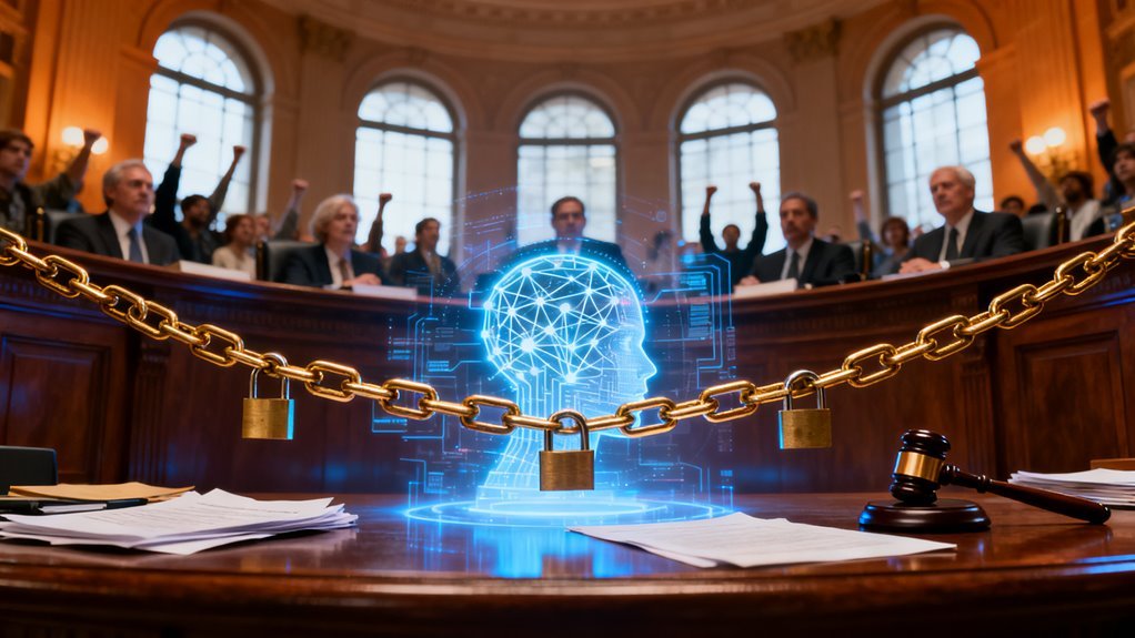
First, the data sovereignty question. Archaeological sites are sovereign cultural heritage. When an AI system trained on satellite imagery identifies a buried city in Guatemala or Iraq, who controls that information? The technology company? The satellite operator? The host country? Indigenous communities with ancestral claims? Current frameworks are entirely inadequate for a world where buried heritage can be mapped remotely without anyone on the ground knowing it happened. Expect this to become a significant diplomatic and legal issue within the next few years.
Second, the looting risk. Every probability map that guides legitimate archaeology is equally useful to antiquities traffickers. The black market in cultural artifacts is estimated at several billion dollars annually. Making buried sites easier to find without simultaneously making them easier to protect creates an obvious security problem. Some researchers have already begun withholding precise coordinates from publications, but the broader challenge of information asymmetry between well funded looters and underfunded heritage protection agencies is growing.
Third, the epistemological shift. For two centuries, archaeology has been fundamentally a sampling discipline. You excavate a tiny fraction of what exists and extrapolate. AI driven remote sensing inverts that relationship. For the first time, researchers can survey entire regions comprehensively before putting a shovel in the ground. That changes not just the efficiency of discovery but the kinds of questions that can be asked. Population estimates, trade network analysis, urbanization patterns, and environmental impact studies all become tractable at scales that were previously theoretical.
What Comes Next
The trajectory is clear. Sensor resolution will continue to improve. SAR satellites are proliferating, with Capella Space, ICEYE, and others driving costs down and revisit rates up. Foundation models for geospatial data are in active development at multiple organizations.
Within three to five years, it is reasonable to expect near real time monitoring of subsurface change detection across large areas, not just static snapshots but dynamic observation of how buried landscapes shift with groundwater, agriculture, and climate. The Maya lowlands discovery is not an endpoint. It is a proof of concept for a much larger transformation in how we understand the physical world beneath our feet.
The same AI capabilities that found 60,000 structures under jungle canopy will find failing water mains under cities, undiscovered mineral deposits under mountains, and archaeological sites under development zones before construction begins. What started as a tool for looking into the past is becoming a general purpose capability for seeing through the present. The earth, it turns out, has always been keeping records. We are only now building systems that can read them.