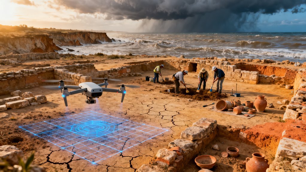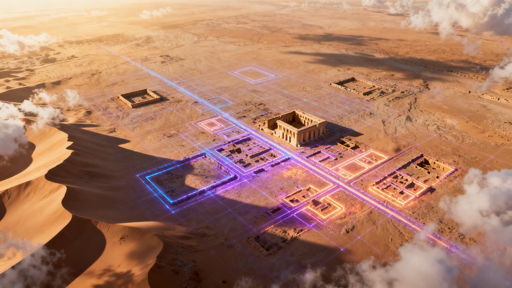

Somewhere beneath the farmland of southern Iraq, thousands of ancient settlements lie buried under centuries of silt and cultivation. Most will never be excavated. Many have never even been cataloged. But a new generation of AI systems trained on satellite imagery, LiDAR scans, and Cold War era spy satellite photos is now identifying these sites at a pace that would have seemed absurd a decade ago. And the implications stretch well beyond archaeology.
What Actually Changed
For most of its history, archaeological survey has been a fundamentally manual discipline. Teams walk transects across landscapes, examine aerial photographs frame by frame, and spend years building regional site inventories that remain incomplete. The bottleneck was never really about sensing technology. Satellites and airborne LiDAR have been generating enormous volumes of usable data for years. The bottleneck was interpretation.
That bottleneck is now breaking open. Deep convolutional neural networks, particularly architectures like Mask R-CNN designed for pixel level image segmentation, can now delineate individual archaeological features across entire landscapes with reported accuracy above 90% and spatial overlap scores (Intersection over Union) exceeding 85%. These are not rough heatmaps. They are precise outlines of hillforts, burial monuments, ancient quarries, and settlement boundaries drawn automatically from remote sensing data. Additionally, systems like Google Gemini can assist in historical data interpretation, enhancing the analytical process.
What makes this generation of models meaningfully different from earlier attempts is the diversity of data they consume. Modern pipelines fuse multispectral satellite bands, infrared signatures, LiDAR derived 3D surface models, drone photography, historical cartography, and even declassified CORONA reconnaissance satellite imagery from the 1960s and 1970s into unified training workflows. The ability to extract signal from crop marks, subtle soil discolorations, and microtopographic variations that are invisible to the naked eye on the ground gives these systems a genuine analytical advantage over traditional survey methods.
The CORONA Factor Deserves More Attention
One of the most underappreciated dimensions of this work involves legacy satellite data. When researchers integrated grayscale CORONA imagery into classifiers built for Mesopotamian floodplain analysis, detection accuracy jumped from below 80% to roughly 90%. That is a significant gain, and it arrived not from better algorithms but from better training data.
This matters for a reason that extends beyond archaeology. It demonstrates a broader principle in applied AI: historical datasets, even those captured with obsolete technology for entirely unrelated purposes, can carry substantial analytical value when reprocessed through modern architectures. The CORONA satellites were designed for Cold War intelligence gathering. Nobody in 1968 imagined their photos would train neural networks to find Sumerian villages. Yet here we are.
The pattern is familiar. Medical AI has drawn signal from decades old radiology archives. Climate scientists have retrained models on historical weather station records. The common thread is that the value locked inside archival data is frequently invisible until the right computational framework arrives to extract it. Organizations sitting on large, underutilized historical datasets across many industries should be paying attention to this dynamic.
Synthetic Data Is Filling a Structural Gap
Labeled archaeological training data is inherently scarce. Unlike, say, ImageNet categories where millions of labeled images exist, verified archaeological sites are finite in number, unevenly distributed geographically, and expensive to confirm through ground truth validation. This creates a classic data scarcity problem that limits model generalization.
The emerging response is synthetic augmentation: inserting simulated archaeological features into authentic LiDAR terrain maps to create artificial but structurally realistic training examples. This approach mirrors strategies already proven in autonomous vehicle development (where synthetic driving scenarios supplement real world footage) and in medical imaging (where synthetic lesions augment limited pathology datasets). Its application to archaeology confirms that synthetic data generation is becoming a standard tool in the applied AI toolkit whenever domain specific labeled examples are hard to come by.
The technique works, but it introduces a subtle risk. Models trained heavily on synthetic features may develop detection biases toward the specific morphologies their creators chose to simulate, potentially missing site types that fall outside the imagined template. This is not a theoretical concern. It is a known failure mode in synthetic data pipelines across multiple fields.
Two Platforms Signal Where This Is Heading
Two systems illustrate the current trajectory. ArchAI uses deep CNN based computer vision to detect multiple archaeological site types from LiDAR, satellite imagery, and historic maps across broad regions. The A3RD project takes a different approach, building an open source, scalable deep learning platform specifically engineered for heritage detection and designed to lower adoption barriers for resource constrained heritage agencies and academic institutions.
The split is instructive. ArchAI represents the centralized, high capability tool built for organizations with technical infrastructure. A3RD represents the democratization play, making comparable capabilities accessible to smaller teams. This mirrors the broader AI ecosystem dynamic visible across virtually every domain: proprietary platforms competing with open source alternatives, each serving different constituencies while collectively expanding the technology’s reach.
For heritage management organizations and government cultural agencies, this shift from manual survey dependence toward scalable computational workflows represents something close to a paradigm change. Archaeological survey has traditionally been constrained by funding cycles, seasonal weather windows, and the physical limits of field teams. AI driven detection operates on a fundamentally different cost curve. Once a model is trained, running it across an additional thousand square kilometers of satellite imagery is computationally cheap compared to putting boots on the ground.
The False Positive Problem Is Real
Performance numbers above 90% sound impressive, and they are. But the details matter. Several experimental LiDAR based models show high sensitivity, meaning they successfully flag most known sites, but also exhibit elevated false positive rates. In plain terms, these systems catch what is there but also flag things that are not. When ArchAI was tested on LiDAR data from the Isle of Arran, initial results included 200 false positives but also revealed 120 new site locations that had not been previously recorded.
In a medical diagnostic context, high sensitivity with moderate precision means more unnecessary biopsies. In an archaeological context, it means more unnecessary field verification visits. That is expensive and time consuming but not catastrophic. The practical implication is that current AI systems are best understood as triage tools rather than autonomous decision makers. They dramatically narrow the search space, directing human experts to the most promising locations rather than replacing expert judgment entirely.
This is a recurring theme across applied AI. The technology excels at filtering enormous volumes of data down to manageable candidate sets. The last mile of verification still requires human expertise. Anyone expecting full automation is misunderstanding where the technology currently sits.
Why This Matters Beyond Archaeology
The strategic significance here is not really about finding old buildings. It is about what these systems reveal regarding AI’s capacity to extract structured knowledge from unstructured environmental data at planetary scale.
The same fusion pipelines that identify buried Mesopotamian settlements from multispectral imagery could, with different training labels, detect illegal mining operations, map undocumented infrastructure in conflict zones, monitor deforestation patterns, or identify subsurface geological anomalies relevant to resource extraction. The underlying technical architecture is domain agnostic. What changes is the training data and the questions being asked.
Defense and intelligence organizations have clearly recognized this. The ability to automatically detect human made structures and landscape modifications from satellite imagery has obvious dual use potential. Environmental monitoring agencies are exploring similar pipelines. And the commercial remote sensing industry, already growing rapidly as satellite constellation costs decline, stands to benefit from any AI system that converts raw imagery into actionable spatial intelligence.
Regulatory and Ethical Dimensions
Cultural heritage protection is governed by a patchwork of national laws and international conventions, many of which were written long before AI entered the picture. The widespread automated detection of previously unknown archaeological sites raises practical questions. Who owns the resulting data? Are governments obligated to protect newly identified sites? Could the same detection tools be used by looters to locate vulnerable targets?
That last question is not hypothetical. Archaeological looting is a multibillion dollar global problem, and satellite imagery analysis has already been used to document it. Making AI detection tools more accessible through open source platforms like A3RD increases the risk that bad actors could repurpose these capabilities. The heritage community has not yet developed a consensus framework for managing this dual use tension, and the pace of technical development is outstripping the pace of policy discussion.
What Comes Next
Several developments are likely over the next two to four years. First, foundation models trained on large, diverse remote sensing datasets will probably emerge, analogous to what GPT and BERT did for natural language processing. These would enable rapid fine tuning for specific archaeological or environmental detection tasks without requiring domain teams to train models from scratch.
Second, the integration of temporal analysis, comparing satellite imagery of the same location across years or decades, will improve detection of sites that are only visible under specific seasonal or environmental conditions. Crop marks, for example, appear and disappear depending on moisture levels and agricultural cycles.
Third, expect growing tension between open access advocates who want detection tools widely available and heritage protection authorities concerned about security implications. This debate will likely intensify as tool capabilities improve and as commercial satellite imagery resolution continues to increase.
The broader takeaway is that AI applied to remote sensing is maturing from a research curiosity into operational infrastructure. Archaeology happens to be one of the most compelling early proving grounds because the data is rich, the stakes are culturally significant, and the gap between available information and human capacity to process it is enormous. But the underlying capabilities being demonstrated here will ripple outward into environmental science, urban planning, disaster response, and national security in ways that are only beginning to become visible.