
The race to catalog what lies beneath the earth’s surface has taken on a new character, one shaped less by curiosity and more by the ticking clock of environmental collapse. Machine learning systems are now directing archaeologists toward buried sites they might never have found on their own, and doing so at speeds that would have seemed absurd even five years ago. This is not a novelty application of AI. It is a case study in how predictive modeling becomes essential when the thing you are trying to study is actively disappearing.
Random Forest classifiers trained on satellite imagery, LiDAR elevation data, and climate variables are achieving AUC scores north of 0.95, which in practical terms means these models are correctly distinguishing genuine archaeological sites from empty ground with a reliability that rivals or exceeds experienced human surveyors. They are doing it roughly three orders of magnitude faster. Over 20,000 potential locations have already been flagged across regions where rising sea levels, accelerating erosion, and altered rainfall patterns are actively degrading subsurface stratigraphy that survived intact for thousands of years.
What makes this development worth paying attention to is not the accuracy number itself. High AUC scores on well curated datasets are table stakes in 2025. The significant part is the problem structure. Archaeology has historically been a discipline of slow, methodical fieldwork constrained by funding, access, and human labor. Climate change has introduced a hard deadline that the field’s traditional pace cannot meet. The mismatch between the speed of destruction and the speed of discovery created a gap that only computational methods could realistically close.
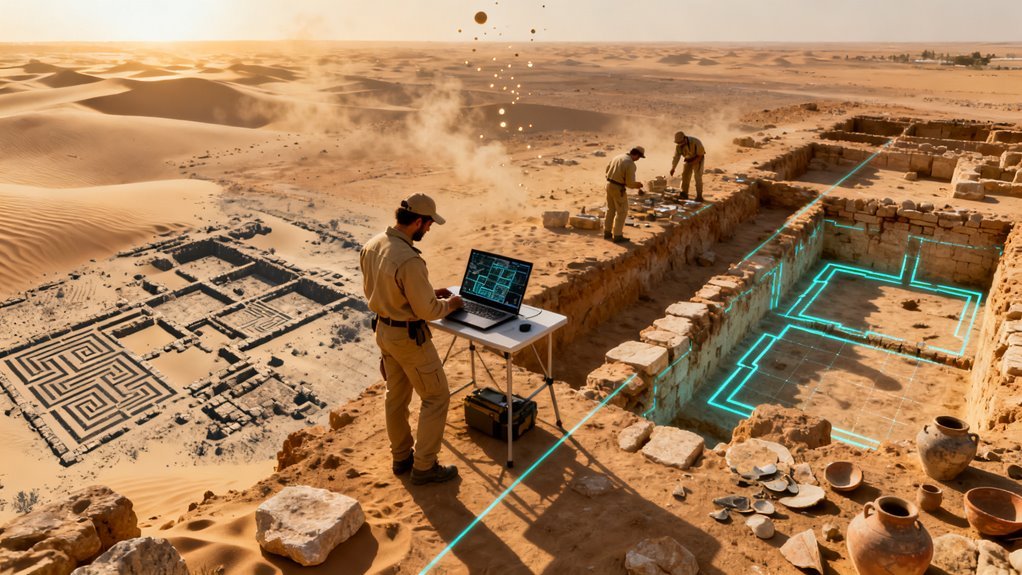
The technical approach here borrows heavily from remote sensing pipelines developed for agriculture, urban planning, and military intelligence. LiDAR, which strips away vegetation canopy to reveal surface topology, has been used in archaeological contexts since the early 2010s, most famously in mapping Maya cities hidden under Guatemalan jungle. What has changed is the integration layer. Rather than treating LiDAR, multispectral satellite data, soil moisture readings, and historical climate records as separate inputs requiring manual interpretation, current systems fuse these data streams and let ensemble models identify patterns across all of them simultaneously. The Random Forest architecture is a deliberate choice. It handles heterogeneous feature types well, resists overfitting on small training sets, and produces interpretable feature importance rankings that archaeologists can actually interrogate. Nobody wants a black box telling them where to spend six months digging.
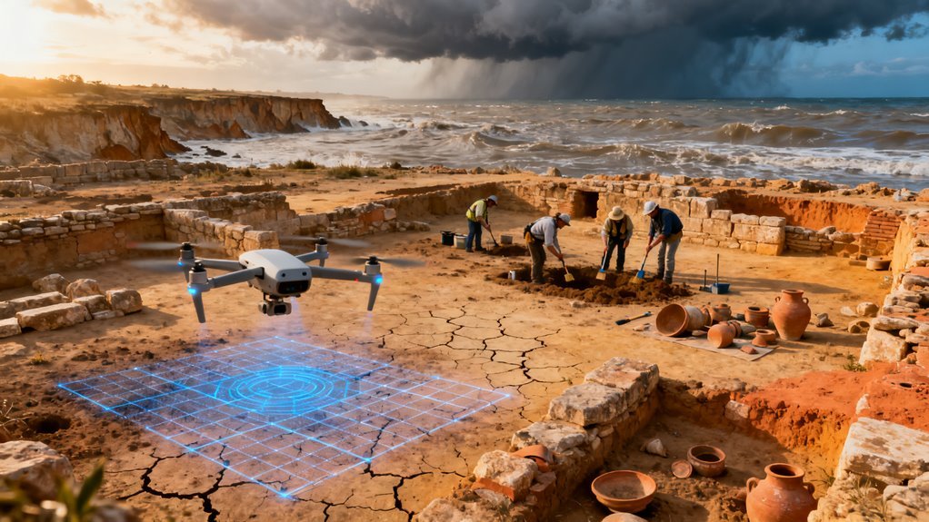
The climate dimension transforms this from an interesting technical exercise into something with genuine policy implications. Coastal archaeological sites across the Mediterranean, Northern Europe, and Southeast Asia face accelerating erosion timelines. Permafrost thaw in Arctic and sub Arctic regions is exposing organic materials that begin decomposing almost immediately once unfrozen. Sites in arid zones face a different threat: shifting precipitation patterns can waterlog previously dry contexts, destroying preservation conditions that persisted for millennia. The destruction is not hypothetical or distant. It is measurable in years, sometimes in seasons.
This creates an unusual dynamic where the AI system’s primary value is not replacing human expertise but triaging it. With 20,000 flagged locations and finite excavation budgets, the model’s ranking and confidence scores become a resource allocation tool. Which sites get investigated first? Which are most at risk? Which have the highest probability of yielding significant finds? These are decisions that previously relied on individual researchers’ intuition and institutional politics. Algorithmic prioritization does not eliminate those factors, but it introduces a quantitative baseline that funding bodies and government heritage agencies can use to justify decisions.
The broader pattern here is worth noting for anyone tracking AI adoption across specialized domains. Archaeology is following a trajectory similar to what we have seen in drug discovery, materials science, and climate modeling. A field with rich but underutilized data, severe resource constraints, and increasing external pressure reaches a tipping point where computational methods shift from optional enhancement to operational necessity. The key accelerant is usually not a breakthrough in AI capability but a change in the external environment that makes the old approach untenable. In pharma, it was the cost of failed clinical trials. In archaeology, it is the literal disappearance of the thing being studied.
There are legitimate concerns about how this plays out. Publicly identifying the locations of buried archaeological sites, even at a coarse resolution, creates looting risk. Conflict zones and regions with weak heritage protection laws are particularly vulnerable. The models themselves also carry bias risk inherited from training data. Most well documented archaeological sites are in regions with long histories of Western academic fieldwork. Sites in underrepresented geographies may be systematically underweighted, meaning the AI could inadvertently reproduce existing gaps in the archaeological record rather than filling them.
For the AI industry more broadly, this application is a useful counterpoint to the dominant narrative around foundation models and chatbots. It demonstrates that some of the highest impact uses of machine learning involve relatively modest architectures applied to domain specific problems where the constraint is not model sophistication but data integration and deployment speed. Random Forests are not cutting edge. The pipeline engineering that makes them work at continental scale with heterogeneous geospatial data, under time pressure, with consequences for irreplaceable cultural heritage, is where the real difficulty lives.
What happens next depends heavily on institutional adoption. UNESCO, national heritage agencies, and academic funding bodies are the gatekeepers. If predictive models become standard inputs to heritage management planning, the 20,000 identified sites could be the beginning of a much larger catalog. If the tools remain confined to a handful of research groups publishing papers, the window closes. The sites do not wait for peer review.
The clock on some of the world’s most important archaeological evidence is running out, and machine learning may be the only tool fast enough to catalog what remains before climate change erases it permanently. That tension between technological capability and environmental urgency is what makes the current wave of AI driven archaeological discovery far more consequential than a simple efficiency upgrade.
Climate change is destroying archaeological sites faster than humans can find them. AI may be the only way to keep up.
Over the past two years, research teams have trained predictive models on datasets exceeding 200,000 known archaeological sites, and the results have been striking. In conflict scarred regions of Syria and Iraq alone, AI has flagged more than 20,000 potential new locations. Four previously unknown sites identified purely through algorithmic prediction were subsequently confirmed through ground inspection. These are not hypothetical outputs from a lab experiment. They are real places, buried under real soil, that human survey teams had missed for decades.
What the Models Actually Do
The technical approaches vary, but several have converged on impressive benchmarks. Random Forest classifiers optimized with careful negative sample selection have reached AUC scores of 0.958, a level of discriminatory power that puts archaeological site prediction in the same performance tier as mature medical imaging applications. Recent advancements in AI tools, like Google’s Fabricius, further enhance the accuracy of these models.
MaxEnt algorithms, originally developed for species distribution modeling in ecology, have been repurposed to forecast the locations of ancient urban settlements in southwestern Algeria with an AUC of 0.859.
Deep learning architectures like Mask R-CNN, typically associated with autonomous driving and industrial inspection, now perform instance segmentation to isolate funerary monuments and architectural remnants in cluttered terrain.
The input data feeding these systems comes from multiple sources. Satellite imagery provides broad coverage. LiDAR penetrates dense vegetation to reveal structures invisible at the surface. Declassified CORONA spy satellite photographs from the Cold War era offer a historical baseline, and AI applied to those decades old images has achieved roughly 90% general detection accuracy.
When you combine topography, soil composition, hydrology, precipitation patterns, and land cover data into a single predictive framework, the resulting probability maps are remarkably granular.
What stands out technically is less the accuracy numbers themselves and more the speed differential. These systems operate approximately 1,000 times faster than conventional prospecting methods.
For a discipline that has historically relied on painstaking field surveys, aerial photography interpretation by trained specialists, and significant institutional patience, that acceleration changes the calculus of what is feasible within a given funding cycle or field season.
The Climate Variable Nobody Can Ignore
Speed matters here because the threat model has changed. Rising temperatures, shifting precipitation, coastal erosion, and advancing desertification are not theoretical risks to archaeological heritage. They are active, ongoing destruction vectors.
Sites that survived millennia underground are now being exposed, degraded, and lost within years rather than centuries.
SHAP analysis of the predictive models reveals something worth pausing on. Land cover, slope, and precipitation rank among the most influential variables determining site probability. These are precisely the variables being destabilized by climate change.
The models are, in effect, identifying sites based on environmental conditions that are themselves in flux. This creates a strange recursive problem: the features that make a location archaeologically significant are the same features being altered by the forces threatening to destroy it.
This is why several research groups have pivoted from pure discovery toward degradation prediction. If you can model not just where sites are but how quickly they are deteriorating, you can prioritize digital archiving and emergency documentation for the most vulnerable locations.
The integration of historical imagery into these workflows adds a temporal dimension that static satellite analysis cannot provide, enabling researchers to track landscape changes over decades and estimate how much evidence has already been lost.
What Archaeologists Actually Think About All This
It would be easy to frame this as another story about AI replacing human expertise. That framing would be wrong, and the researchers working on these systems are emphatic about the distinction.
What AI produces are candidate masks, probability layers, and ranked target lists. Archaeologists convert these outputs into vector shapes for GIS analysis, evaluate the predictions against contextual knowledge that no model currently possesses, and make the excavation decisions.
The workflow is iterative. Predictions lead to field surveys. Field surveys generate new training data. New training data improves the next round of predictions. Each cycle sharpens the model while simultaneously expanding the verified dataset.
This feedback loop is a textbook example of human in the loop machine learning, and it works precisely because the domain experts remain in control of the interpretation layer.
The discovery of entire Mayan cities beneath Guatemalan jungle canopy using LiDAR combined with AI processing illustrates both the power and the limitations. The technology revealed structures that would have taken traditional survey teams generations to find.
But understanding what those structures mean, how they relate to known settlement patterns, what they tell us about political organization and resource management, that work remains irreducibly human.
The Broader Pattern in AI
Step back from archaeology specifically, and a familiar pattern emerges. The most impactful AI applications right now are not the ones generating the most headlines. They are the ones compressing timelines in domains where time itself has become the constraining resource.
Consider the parallels. In drug discovery, AI models screen billions of molecular candidates to identify promising compounds before patents expire or resistant strains emerge.
In climate modeling, machine learning accelerates simulation cycles so policymakers can evaluate interventions before emission windows close.
In materials science, generative models propose novel compositions faster than experimental labs can synthesize them. Archaeological site prediction fits squarely into this category: the value is not that the AI is smarter than the human experts, but that it is faster than the forces working against them.
This pattern also highlights a funding and policy gap that deserves attention. Archaeological AI research operates on modest budgets compared to commercial AI development.
The teams producing these results are often small academic groups leveraging open source tools and publicly available satellite data. The commercial incentive structure does not naturally direct capital toward heritage preservation.
Governments and international organizations like UNESCO are the logical funders, but institutional timelines for grant cycles and policy implementation move slowly relative to both the pace of AI development and the pace of environmental destruction. Beyond funding, cultural tourism generated by well-preserved archaeological sites enhances local economies and quality of life, which means investing in AI-driven conservation is also an investment in the communities that surround these heritage assets.
What Comes Next
Several developments are worth watching. First, the expansion of training datasets. As more verified sites feed back into models, expect accuracy to climb further, particularly in underrepresented geographies across Sub Saharan Africa, Central Asia, and Southeast Asia where survey coverage has historically been sparse.
Second, the integration of synthetic aperture radar data alongside optical imagery and LiDAR will enable detection in regions where cloud cover or canopy density currently limits performance.
Third, foundation models trained on broad geospatial data may eventually allow transfer learning across archaeological contexts, reducing the need to build specialized models from scratch for each region.
The regulatory dimension is also evolving. AI generated site predictions raise questions about heritage protection law, land use policy, and the responsibilities of governments to act on probabilistic evidence.
If an algorithm identifies a high probability site on land slated for commercial development, what obligation exists to investigate before construction begins? Current legal frameworks in most countries were not designed for this scenario.
There is also a security consideration. Publishing precise coordinates of predicted archaeological sites in conflict zones or regions with active looting networks creates obvious risks.
Several research teams have already adopted data sharing protocols that restrict location specificity in published work, but standardized guidelines do not yet exist.
The bottom line is this: AI is not replacing archaeologists. It is giving them something they have never had before, which is the ability to survey landscapes at continental scale and prioritize fieldwork with statistical rigor, at a moment when the physical evidence they study is disappearing faster than at any point in modern history.
The technology works. The accuracy is proven. The open question is whether the institutional, financial, and regulatory infrastructure can move fast enough to act on what the algorithms are finding.