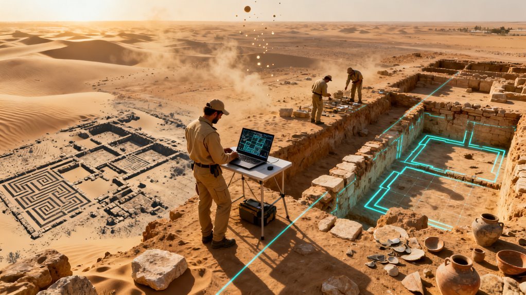
Archaeology has never been a fast discipline. For centuries, finding buried cities and forgotten tombs meant walking the landscape, digging test trenches, and relying on a mix of scholarship and luck. That paradigm is now breaking apart. A new generation of deep learning models, trained on satellite and aerial imagery, is identifying ancient sites across thousands of square miles in hours rather than decades. The accuracy numbers are not incremental improvements. They represent a wholesale replacement of traditional survey methods in certain contexts, and the implications stretch well beyond academia.
What the Models Can Actually Do
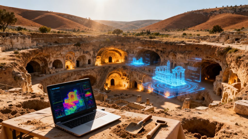
The core technical achievement here is straightforward but worth understanding precisely. Convolutional neural networks, the same architecture that powers facial recognition and autonomous vehicle perception, have been retrained to spot the faint visual and spectral signatures of archaeological remains in remote sensing data. These signatures include discolored soil from ancient mudbrick walls, geometric crop marks caused by buried foundations altering moisture retention, and subtle topographic anomalies invisible to the naked eye but detectable in LiDAR point clouds. Google Gemini AI has also shown promise in processing various artifacts, enhancing the accuracy of archaeological interpretations and discoveries.
The results are difficult to dismiss. In one large scale study, a CNN analyzed over 1,200 satellite images covering roughly 2,000 square miles of terrain and correctly flagged known circular stone tombs 98% of the time. Critically, the system also learned what was not a tomb, filtering out construction debris, irrigation ponds, and other circular features that would fool a less sophisticated classifier. A separate semantic segmentation model applied to Mesopotamian floodplains hit approximately 80% detection accuracy with an Intersection over Union score near 0.82, meaning the system was not just finding sites but accurately tracing their boundaries at the pixel level.
These are not cherry picked benchmarks. Across forested and desert environments alike, mapping accuracies consistently exceed 90%. That kind of performance, applied at continental scale, changes the economics of discovery entirely.
Why Cold War Spy Photos Matter More Than You Think
One of the more unexpected applications involves CORONA satellite photographs from the 1960s. These grayscale images were originally captured by American reconnaissance satellites during the Cold War and later declassified. They happen to document landscapes across the Middle East, Central Asia, and North Africa before decades of urban sprawl and industrial agriculture obliterated surface evidence of ancient occupation.
A retrained CNN applied to CORONA imagery of the Abu Ghraib district in Iraq achieved IoU values above 85% and overall detection accuracy of 90%, surfacing previously unknown sites in a landscape now unrecognizable at ground level. This is a genuinely important development for a reason that has nothing to do with model architecture. It means AI can effectively turn back the clock on environmental destruction, extracting archaeological intelligence from historical data that human analysts lacked the bandwidth to fully exploit when it was first collected.
The CORONA archive alone contains over 800,000 images. No team of researchers could systematically review that volume. A well trained model can.
The broader principle matters. Enormous archives of aerial and satellite photography exist in government and institutional collections worldwide, much of it never analyzed for archaeological content. AI makes those archives newly productive.
Seeing What Eyes Cannot
Standard optical imagery only tells part of the story. Multispectral satellite sensors capture wavelengths beyond the visible spectrum, and AI models trained on this data detect spectral anomalies associated with ancient funerary monuments, settlement layers, and infrastructure with accuracy rates above 90%. A buried stone wall alters the mineral composition and moisture content of overlying soil in ways that register differently in near infrared or shortwave infrared bands.
These differences are subtle, often indistinguishable from natural variation without computational analysis, but machine learning excels at exactly this kind of pattern recognition across noisy, high dimensional data.
LiDAR integration pushes capabilities further still. Dense tropical canopy in Central America and Southeast Asia has hidden entire urban complexes for centuries. AI models processing LiDAR returns can strip away vegetation digitally and reconstruct the terrain surface beneath, revealing road networks, pyramids, reservoirs, and residential compounds. The discovery of previously obscured Mayan cities through this approach was not a one off event. It established a repeatable methodology now being applied across multiple continents.
Crop and grass pattern analysis adds another layer. Under dry conditions, buried archaeological deposits create differential plant growth visible from orbit. Walls restrict root growth, producing stunted vegetation directly above them. Ditches retain moisture, producing greener, taller growth. AI models detect these patterns automatically across entire agricultural regions, flagging areas for ground verification.
The Strategic Shift Nobody Is Talking About
What makes this genuinely consequential is not any single model or dataset. It is the convergence of three factors happening simultaneously.
First, commercial satellite imagery resolution has improved dramatically while costs have plummeted. Planet Labs, Maxar, and Airbus Defence and Space now offer imagery at sub meter resolution with revisit times measured in days rather than months. Academic researchers who once waited years for a single satellite pass now have near continuous coverage.
Second, transfer learning and foundation models have lowered the barrier to training domain specific classifiers. A research team no longer needs millions of labeled archaeological examples. They can fine tune a pretrained vision model on a few hundred annotated images and achieve production quality results. This democratization of capability means smaller institutions and developing nations can participate in AI driven survey without massive computational budgets.
Third, and perhaps most importantly, the destruction of archaeological sites worldwide is accelerating. Urban expansion, agricultural intensification, conflict, looting, and climate change are erasing surface evidence faster than traditional methods can document it. AI driven remote sensing is not just convenient. For many threatened landscapes, it may be the only viable approach to recording what exists before it vanishes. Projects like the EAMENA initiative already document and assess archaeological sites across twenty MENA countries using remote sensing methods to rapidly record the status of sites endangered by conflict and development, underscoring the urgency of this work.
Who Benefits, Who Loses, and What Gets Overlooked
The obvious winners are research institutions and heritage organizations that can now survey entire nations rather than isolated study areas. Governments with limited archaeological budgets gain a force multiplier. Commercial archaeology firms conducting environmental impact assessments before construction projects can reduce fieldwork costs substantially.
The less obvious winners are indigenous and local communities whose ancestral landscapes may finally receive systematic documentation, potentially strengthening land claims and cultural heritage protections. Several nations are already exploring how AI generated archaeological maps might inform land use planning and development regulation.
The losers, if there are any, are primarily looters and illegal antiquities dealers whose targets become easier for authorities to monitor. Automated change detection applied to known site locations can flag unauthorized excavation activity in near real time.
But there are risks worth naming. Over reliance on automated detection could create a bias toward site types the models were trained to recognize, potentially missing novel or unusual features that fall outside the training distribution. Confirmation bias at algorithmic scale is a real concern. Publication of precise site locations also raises security questions in regions where looting is endemic. Responsible disclosure protocols, already standard in cybersecurity, need equivalents in computational archaeology.
There is also a data sovereignty issue that deserves more attention. When Western research teams train models on satellite imagery of sites in the Global South and publish results without meaningful local collaboration, they replicate colonial patterns of knowledge extraction. The technical barrier to entry may be falling, but access to high resolution commercial imagery, cloud computing resources, and ML expertise remains unevenly distributed.
What Comes Next
The trajectory here points toward something that might be called continuous archaeological monitoring. As satellite constellations grow denser and AI models improve, it becomes feasible to maintain persistent automated surveillance of known and predicted site locations worldwide. New sites surface when construction or erosion exposes buried features. Existing sites get flagged when unauthorized activity is detected. Seasonal variation in crop marks gets tracked year over year, building richer models of subsurface deposits without ever putting a trowel in the ground.
Foundation models for remote sensing, analogous to what GPT did for text, are already under development at organizations including NASA, ESA, and several private companies. When these models mature, fine tuning for archaeological detection will become trivially easy, potentially making AI assisted site discovery a standard preprocessing step for any large scale land use project.
The deeper implication is philosophical as much as technical. For most of human history, the archaeological record has been discovered piecemeal, shaped by where researchers happened to look and what survived above ground. AI applied to remote sensing data offers something closer to a complete inventory. Not perfect, not exhaustive, but orders of magnitude more comprehensive than anything previously possible. The map of humanity’s past is being redrawn, and the tools doing the drawing are improving faster than most people in the field fully appreciate.